General
Life
Accessibility Options

General

General Products
Simple & Transparent! Policies that match all your insurance needs.


Scan to download

Life

Life Products
Digit Life is here! To help you save & secure your loved ones' future in the most simplified way.

Scan to download

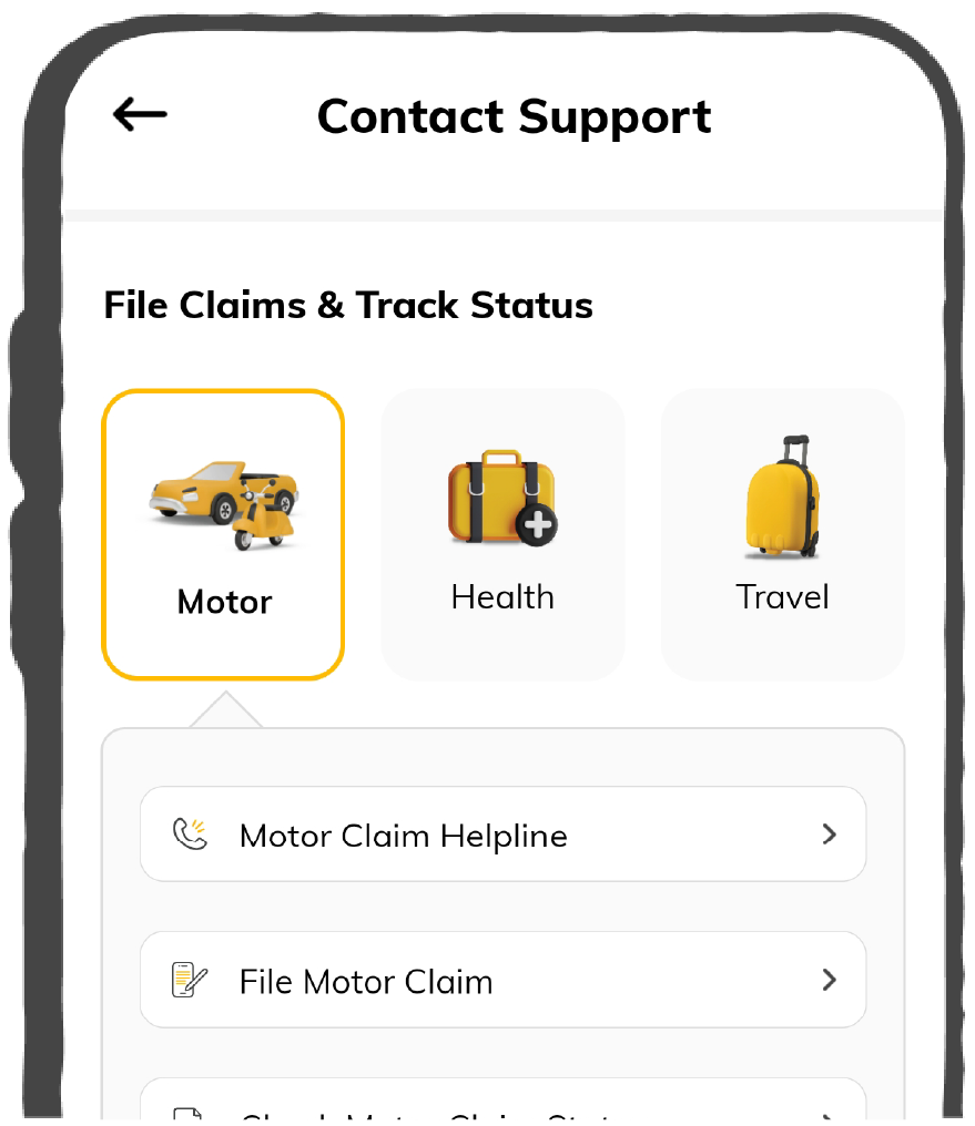
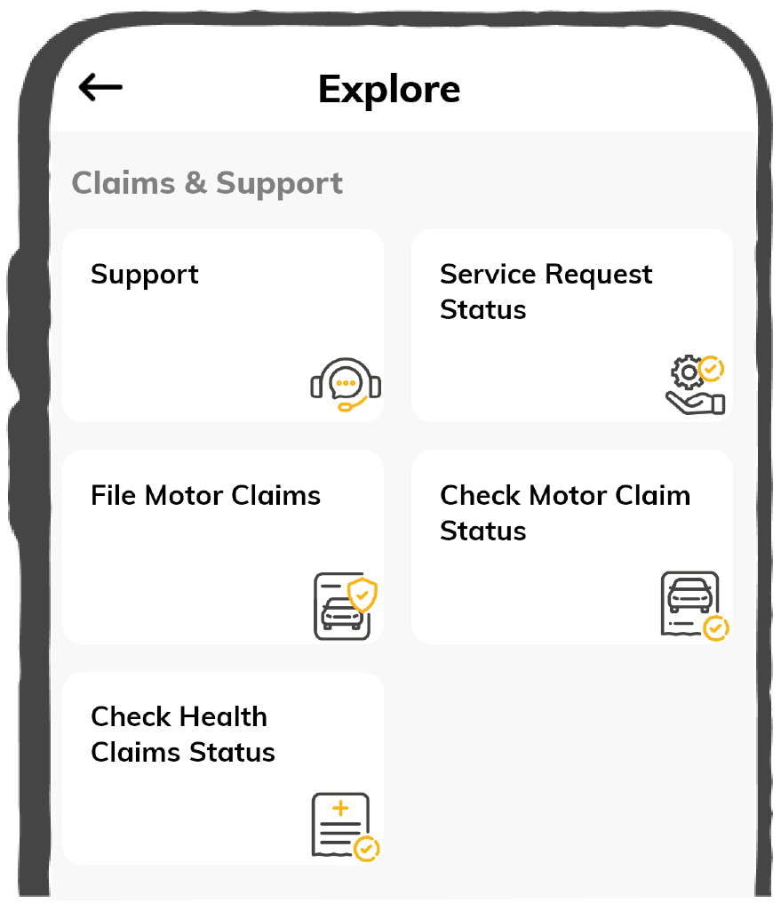
Claims
Claims
We'll be there! Whenever and however you'll need us.
Scan to download
 General
 Life
Life
Renewals
Resources
Resources
All the more reasons to feel the Digit simplicity in your life!
Scan to download
Our WhatsApp number cannot be used for calls. This is a chat only number.


Premium starting ₹150
Quick Claim Process


Check Price
Home Insurance Online starting ₹150/year*
Premium starting ₹150
Quick Claim Process
A city survey number is a unique identification code provided for your property in Mumbai. This practice was carried out during the period of 1963 to 1967. It has been of immense significance for both the buyer and seller of a property. This numerical code also goes by many other names, such as CTS number and Chain and Triangulation Survey (CTS) number.
The city survey number is your property's identifier. It helps a buyer to get all information regarding the property prior to purchase and is useful to the owner as this is required for all property-related transactions made. Also, upon acquiring a new property, the CTS number will decide how much stamp duty charges will be levied on that property and also notify the local authority to provide you with the basic amenities such as water and electricity. It will also help in locating your property details in the online land records archive, Mahabhulekh.
CTS number of the property stands for Chain and Triangulation Survey number, and often as the Cadastral Survey Number in Mumbai suburban area. This numerical code will be mentioned in many affairs related to your property.
Here are some of the reasons why the CTS number is required:
You can find the CTS number of a property in the 7/12 extract and the property card as well. If your property is an apartment, you can find the number mentioned on the first page of your agreement. You can also obtain the city survey no. from any of the 10 CTSOs in Mumbai situated at Ghatkopar, Mulund, Chembur, Andheri, Kurla, Borivali, Bandra, Vile-Parle and Malad. All of these offices are under the supervision of the Superintendent of Land Records or Taluk Inspector of Land Records.
There are a total of 10 city survey number offices in the Mumbai suburban area for three talukas of Kurla, Borivali and Andheri, which cover a total of 86 villages. You will find the details regarding the CTS offices in Mumbai and their jurisdiction in the table given below:
|
Taluka |
CTS Offices |
Villages Under Jurisdiction |
|
Andheri |
Andheri |
Andheri, Ambivali, Bandivali, Ismalia, Madh, Magara, Mojas, Oshivara, Versova |
|
Andheri |
Bandra |
Bandra, Kole-Kalyan, Parighakhar |
|
Andheri |
Vile-Parle |
Vile-Parle, Gundavali, Sahar, Juhu, Marol, Kondivata, Chakata, Bapnala, Bramhanwada, Parjapur, Marol, Mulgaon, Vyarvali |
|
Borivali |
Borivali |
Borivali, Kandivali, Dahisar, Eksar, Gorai, Magathane, Manori, Mandpeswar, Charkop, Shimpoli, Kanheri |
|
Borivali |
Goregaon |
Aksa, Akurli, Daravali, Erangal, Poisar, Marve, Malavani, Wadhavan, Valanai, Pahari-Eksar, Pahari-Goregaon |
|
Borivali |
Malad |
Aarey, Goregaon, Gundgaon, Kurar, Klerabad, Malad, Chichavali, Dindoshi, Sai, Tulsi |
|
Kurla |
Kurla |
Kurla, Mohali, Saki |
|
Kurla |
Mulund |
Mulund, Bhandup, pawai, Paspoli, Pawai, Nahur, Tirandaj, Kopari, Kanjur |
|
Kurla |
Ghatkopar |
Ghatkopar-Kirol, Kirol, Ghatkopar, Chandivali, Tungao, Asalpha, Deonar, Vikroli, Hariyali |
|
Kurla |
Chembur |
Chembur, Turbhe, Maravali, Mandale, Borla, Mankhurd, Vadhavali, Mahul, Anik |
The process of allotment of city survey numbers was carried out between the period of 1963 and 1967. A property card with the respective city survey no. was also arranged for the property. This entire system works under the supervision of the Superintendent of Land Records in Mumbai for each district or taluka.
City survey number does not only hold legal significance, but it also indicates that your property has a legitimate valuation which helps in the time of selling your property. The local authority also needs you to provide this number to facilitate you with the basic amenities of water connection and power.

