General
Life
Accessibility Options

General

General Products
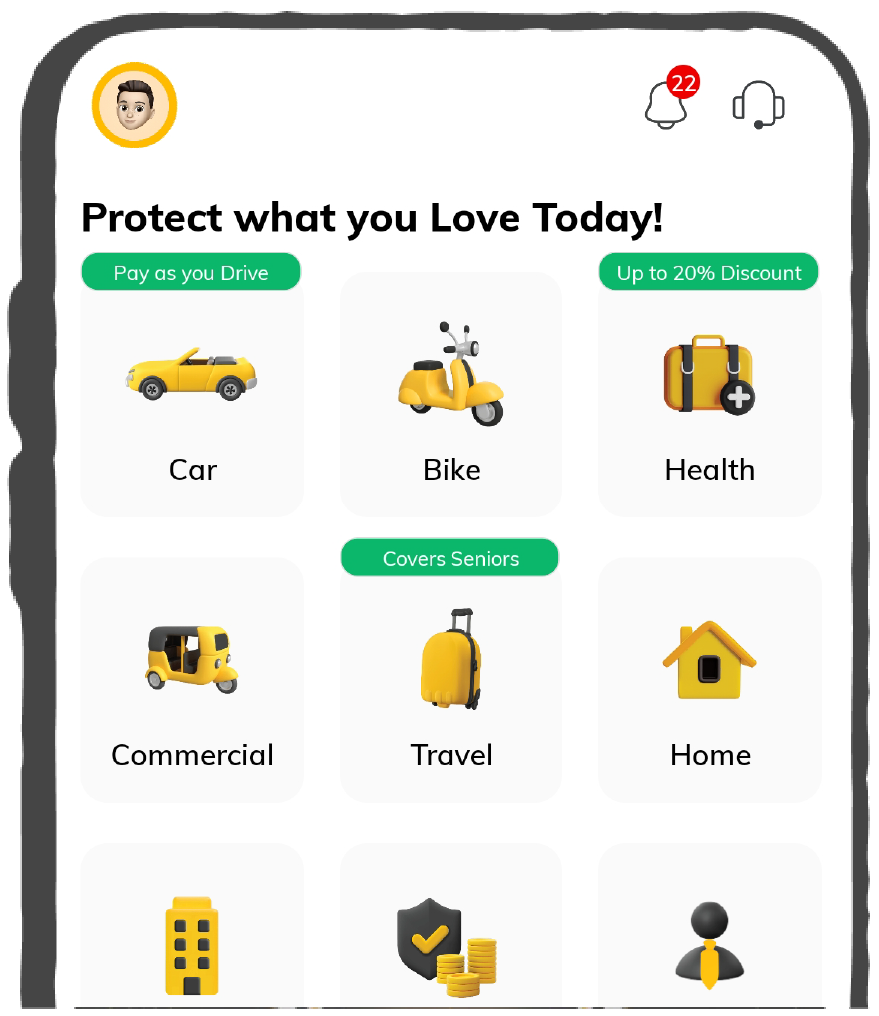
Simple & Transparent! Policies that match all your insurance needs.

Scan to download

Life

Life Products
Digit Life is here! To help you save & secure your loved ones' future in the most simplified way.

Scan to download

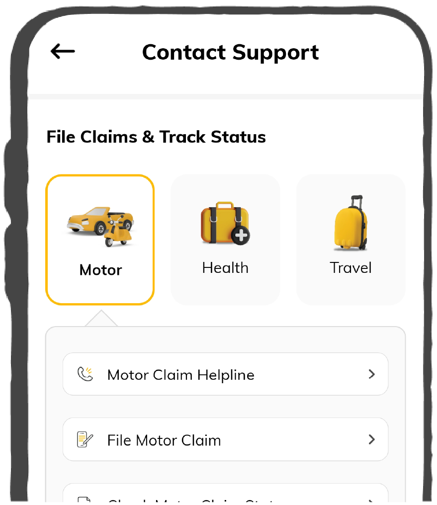
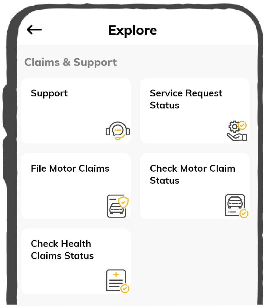
Claims
Claims
We'll be there! Whenever and however you'll need us.
Scan to download
 General
 Life
Life
Renewals
Resources
Resources
All the more reasons to feel the Digit simplicity in your life!
Scan to download
Our WhatsApp number cannot be used for calls. This is a chat only number.


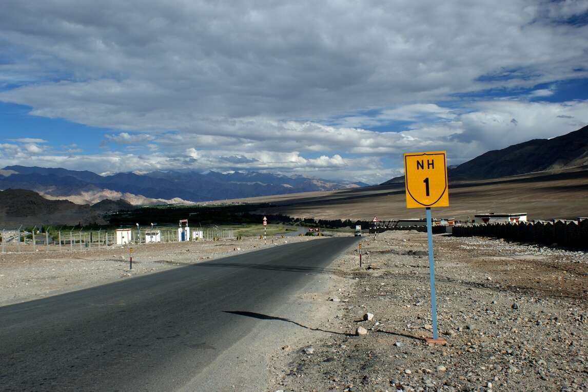
National highways improve the connectivity among the major capitals, cities, important ports and other neighboring states. They play an integral part in a country’s development as it enables smooth trading from one place to another. Moreover, these highways are also essential in tourism for their easier transportation system.
In this article, we will discuss interesting facts about National Highway 1 according to the old and new numbering systems.
You will pass through several states when traveling through National Highway 1 route. In addition, there are several entry and exit points of this circuit. Let us find in detail about them below:
Each highway has a distinct number to indicate the orientation and geographical location of that highway. The new numbering system of India has assigned even numbers to all the north-south highways and odd numbers to every east-west highway.
In this regard, India’s new numbering system has assigned National Highway 1 to the oldest highways of India.
The new NH 1 stretches through several states such as:
It passes through Uri, Baramulla, Srinagar, Sonamarg, Zoji La, Dras, Kargil and Leh. Moreover, as a major part of this highway falls under mountain sides, it is covered with snow-capped mountains in places.
The NH 1 connects 2 major Union Territories, namely Jammu & Kashmir and Ladakh, comprising parts of old NH 1A and NH 1D. The starting point of this road is Jammu & Kashmir which ends at Ladakh. This route has most of its road close to the sides of mountains as both these places are known for their breathtaking beauty.

The National Highway 1 route length is given below with its major intersections across several states:
|
District |
Mile |
Kilometre |
|
Leh (NH 3) |
345 |
556 |
|
Budgam (NH 444) |
268.1 |
431.4 |
|
Kargil (NH 301) |
135.1 |
217.4 |
|
Srinagar (NH 44) |
276.6 |
445.1 |
|
Baramulla (NH 701A) |
317.1 |
510.3 |
|
Baramulla (NH 701) |
317.3 |
510.6 |
|
Baramulla (S-3 Strategic Highway) |
356.7 |
574.1 |
1.000 Mile = 1.609 km
1.000 km = 0.621 Mile
Types of vehicles and transports Jammu and Kashmir State Road Transport Corporation (JKSRTC) allows between the roads of Srinagar and Leh include:
As per the rules of Jammu and Kashmir State Road Transport Corporation (JKSRTC) and government-issued guidelines, the maximum speed limit for vehicles on highways are as follows:
Maintaining the speed limit reduces potential vehicle collisions by bridging disparities.
As National Highway 1 connects 2 Union Territories, Jammu & Kashmir and Ladakh, there are some places that are popular among people. These places include:
Jammu & Kashmir, also known as the Paradise on Earth, offers incredible beauty with snow-covered mountains to the viewers. One can experience adventures like rock climbing, paragliding, and skiing over here. Some of the famous places in Kashmir around the National Highway 1 route people can visit are:
Extending from the Himalayan Ranges to the Kunlun Ranges, Ladakh has become a major attraction for its landscapes, clear skies, adventure activities, mountain passes, Buddhist Monasteries and so on. In this regard, some of the famous places around NH 1 in Ladakh are:
In case you are on your first ride on the NH 1 route, there are important things to consider that are essential to maintain. These include:
Traveling on National Highways is risky no matter if it is one’s first time or more. Having a clear view of the geographical and other local facts will come in handy while on the roads. This article will provide you with a helpful guide for navigating through National Highway 1 seamlessly.