General
Life
Accessibility Options

General

General Products
Simple & Transparent! Policies that match all your insurance needs.


Scan to download

Life

Life Products
Digit Life is here! To help you save & secure your loved ones' future in the most simplified way.

Scan to download

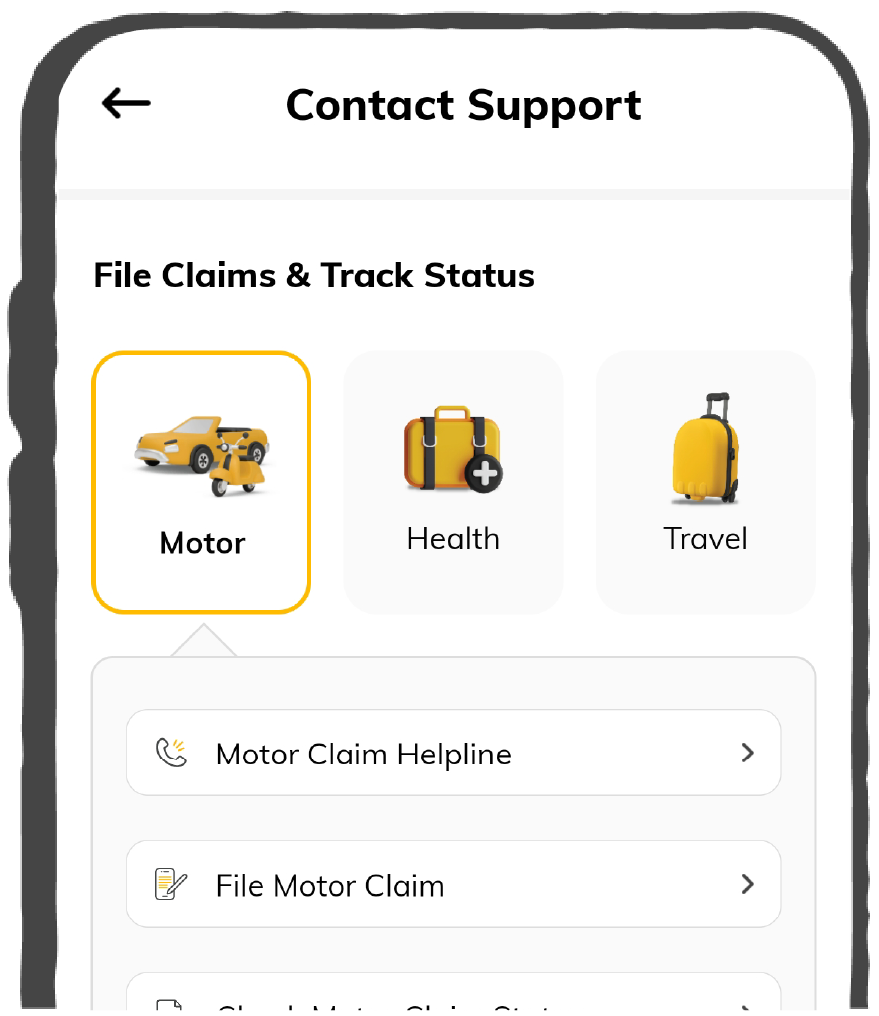
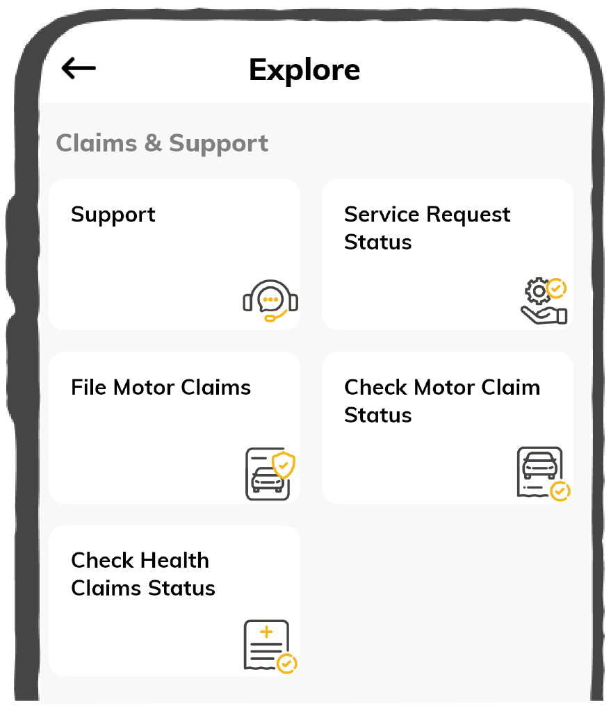
Claims
Claims
We'll be there! Whenever and however you'll need us.
Scan to download
 General
 Life
Life
Renewals
Resources
Resources
All the more reasons to feel the Digit simplicity in your life!
Scan to download
Our WhatsApp number cannot be used for calls. This is a chat only number.


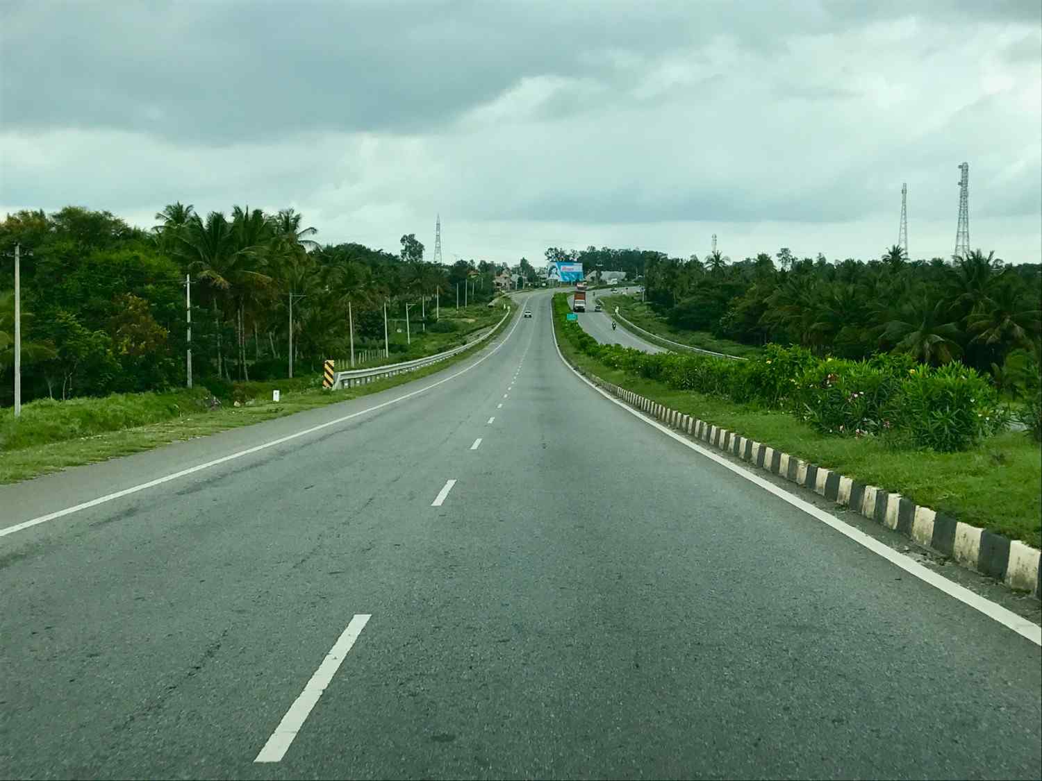
Being one of the major national highways in India, NH 75 national highway passes through the states of Karnataka, Andhra Pradesh and Tamil Nadu. If you are planning a road trip from Bengaluru to Tamil Nadu, this will help you to know everything about NH75 - its route, famous spots, speed limit and things to consider while riding through this national highway.
National Highway 75 crosses three geographical areas of Karnataka state, specifically Malenadu, Karavali, and Bayaluseeme. It also passes through towns such as Nellyadi, Shiradi Ghat, Kunigal, Bengaluru, Venkatagirikota, Katpadi and so on.
While travelling through National Highway 75, you will pass through the states:
NH 75 starts from Bantwal in Karnataka and terminates at Vellore in Tamil Nadu. The national highway 75 connects numerous cities and towns as it passes through three states.

The entire length of this NH 75 is 533 km. Take a look at the length of the national highway across the states:
|
States |
Mile |
Kilometre |
|
Karnataka |
260.17 |
418.71 |
|
Andhra Pradesh |
15.28 |
2.460 |
|
Tamil Nadu |
37.71 |
60.70 |
1.000 Mile = 1.609 km
1.000 km = 0.621 Mile
Here are the list of vehicles that can pass through Karnataka, Andhra Pradesh, and Tamil Nadu via NH 75:
The Ministry of Road Transport and Highways impose different speed limits for different vehicles on national highways. The limit set are:
Some of the famous places around NH 75 are mentioned below:
Situated along the Arabian coastlines you can take a halt in some of the following locations:
Some of the famous places you can visit on your route are:
While passing through NH 75, you can take a pit stop at the following locations:
Before you go on a road trip through national highway number 75, here are some of the important things to consider.
NH 75 has been going through major road-widening projects for the last few years. Hence, keep an eye out for road closures, diversions and construction.
Follow the signs that indicate the speed limit on the highway and adhere to them.
Recognise the speed differences of vehicles ahead and behind between the lanes and adjust your vehicle’s speed accordingly.
Remember to carry your documents including commercial vehicle insurance or car insurance certificate, driver’s licence, PUC, etc.
Always wear a helmet while riding two-wheelers as it keeps you safe. Also, if you are found not wearing one you will not be able to file a claim under your bike insurance policy online.
When driving along NH 75, you must comply with the traffic rules and guidelines. Additionally, make a map of your route before you start planning your trip to make it easier to commute. If you are travelling through this national highway for the first time, make sure to check all the signs and signals along the way.