General
Life
Accessibility Options


General

General Products
Simple & Transparent! Policies that match all your insurance needs.
 Car Insurance
 Two Wheeler Insurance
 Commercial Vehicle Insurance
 Health Insurance
 Home Insurance
 Travel Insurance
 Business Insurance
Car Insurance
Two Wheeler Insurance
Commercial Vehicle Insurance
Health Insurance
Travel Insurance
Business Insurance
Car Insurance
Two Wheeler Insurance
Commercial Vehicle Insurance
Health Insurance
Travel Insurance


Scan to download

Life

Life Products
Digit Life is here! To help you save & secure your loved ones' future in the most simplified way.
 Term Life
 Savings Plan
 Retirement and Pension Plans
 Group Life Products
 Product Documents
Term Life
Savings Plan
Retirement and Pension Plans
Group Life Products
Product Documents
Term Life
Savings Plan
Retirement and Pension Plans
Group Life Products

Scan to download

Claims

Claims
We'll be there! Whenever and however you'll need us.
 Customer Support
 Motor Claims
Health Claims
Motor Claims
Health Claims
 Marine Insurance
 Grievance Redressal
Customer Support
Motor Claims
Health Claims
Marine Insurance
Grievance Redressal
Grievance Redressal
Customer Support
Motor Claims
Health Claims
Marine Insurance
Grievance Redressal
Scan to download
 General
 Life
General
Life
Life
General
Life
Renewals
Resources
Resources
All the more reasons to feel the Digit simplicity in your life!
Exclusive Features
 Transparency Report
Others
Exclusive Features
Transparency Report
Transparency Report
Others
Exclusive Features
Transparency Report
Scan to download


Our WhatsApp number cannot be used for calls. This is a chat only number.

 Grey Scale
 Readable Text
 Reset
Reset



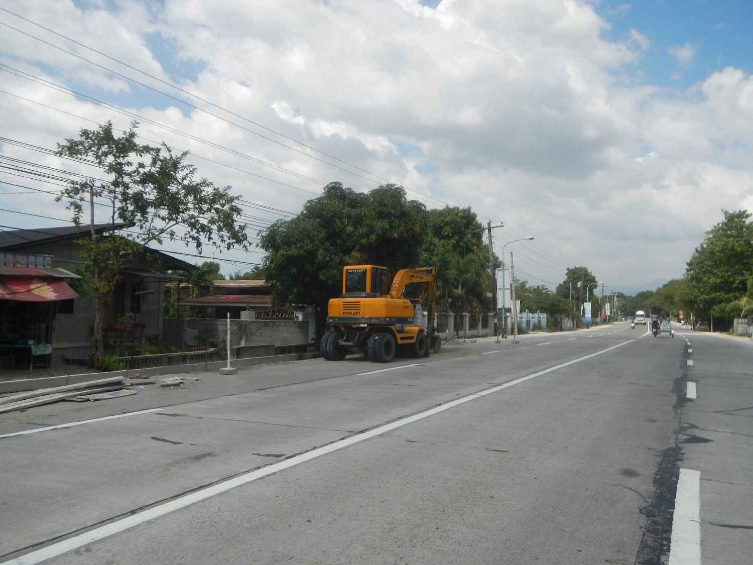
National Highways play an important role in the development of a country. They establish a connection between the capital and other states of the neighbouring countries. Each national highway has a number as per its geographic location and orientation. If you travel through National Highway 56, you will come across some interesting spots.
When you will be travelling through National Highway 56, you will cross several states. It follows the route of Dahod, Vapi, Banswara, and Nimbahera. In addition, you will also come to know the entry and exit points of places following the route.
National Highway 56, commonly referred to as NH 56, is a highway that connects cities between Rajasthan and Gujarat. This highway passes through the following states.
The cities that this new NH 56 connects are the city of Chittorgarh in Rajasthan to Dahod in Gujarat. This highway starts in Rajasthan and ends in Gujarat. Hence, the entry point of National Highway 56 is Rajasthan, and the exit point is Gujarat.
The route length of the national highway 56 is given below, with its major intersections across states:
|
State |
Mile |
Kilometre |
|
Gujarat |
266.5 |
429 |
|
Rajasthan |
146.14 |
235.20 |
|
Madhya Pradesh |
32.3 |
52 |
1.000 Mile = 1.609 km
1.000 km = 0.621 Mile
The Ministry of Road Transport and Highways allows different vehicles between the roads of Rajasthan and Gujarat. The vehicles that avail on National Highway 56 are:
The Government of India has fixed the maximum speed for different vehicles on different categories of roads. Let us go through the speed limits for vehicles on highways in detail:
Following the route of the national highway 56, these are somemust-visit places for travellers:
If you are in Chittor, you must visit the below mentioned famous places:
Dahod, a small city, is located on the banks of Dudhimati river in the state of Gujarat. Make sure to visit the following places:
When travelling through National Highway 56, always remember the following things:
The highway rules and regulations for different vehicles operating on National Highway 56 can vary depending on the type of vehicle, including:
Heavy Vehicles (Trucks, Buses): These vehicles must adhere to speed limits and weight restrictions and must follow designated lanes. Regular inspections may be necessary, which is why drivers must ensure they have valid documents like permits, commercial vehicle insurance, RC, PUC, etc.
Light Vehicles (Cars, Tempos): These make most of the traffic on highways, hence must comply with speed limits and traffic signals. Following safety protocols like having car insurance and using seat belts and helmets is mandatory. They must also get regular maintenance and emissions checks done.
Two-Wheelers (Motorcycles, Scooters): These types of vehicles are most prone to accidents; hence bike insurance is mandatory. Both the rider and the pillion must have helmets and must follow lane discipline and speed limits. Two-wheelers are prohibited on certain high-speed lanes.