General
Life
Accessibility Options

General

General Products
Simple & Transparent! Policies that match all your insurance needs.


Scan to download

Life

Life Products
Digit Life is here! To help you save & secure your loved ones' future in the most simplified way.

Scan to download

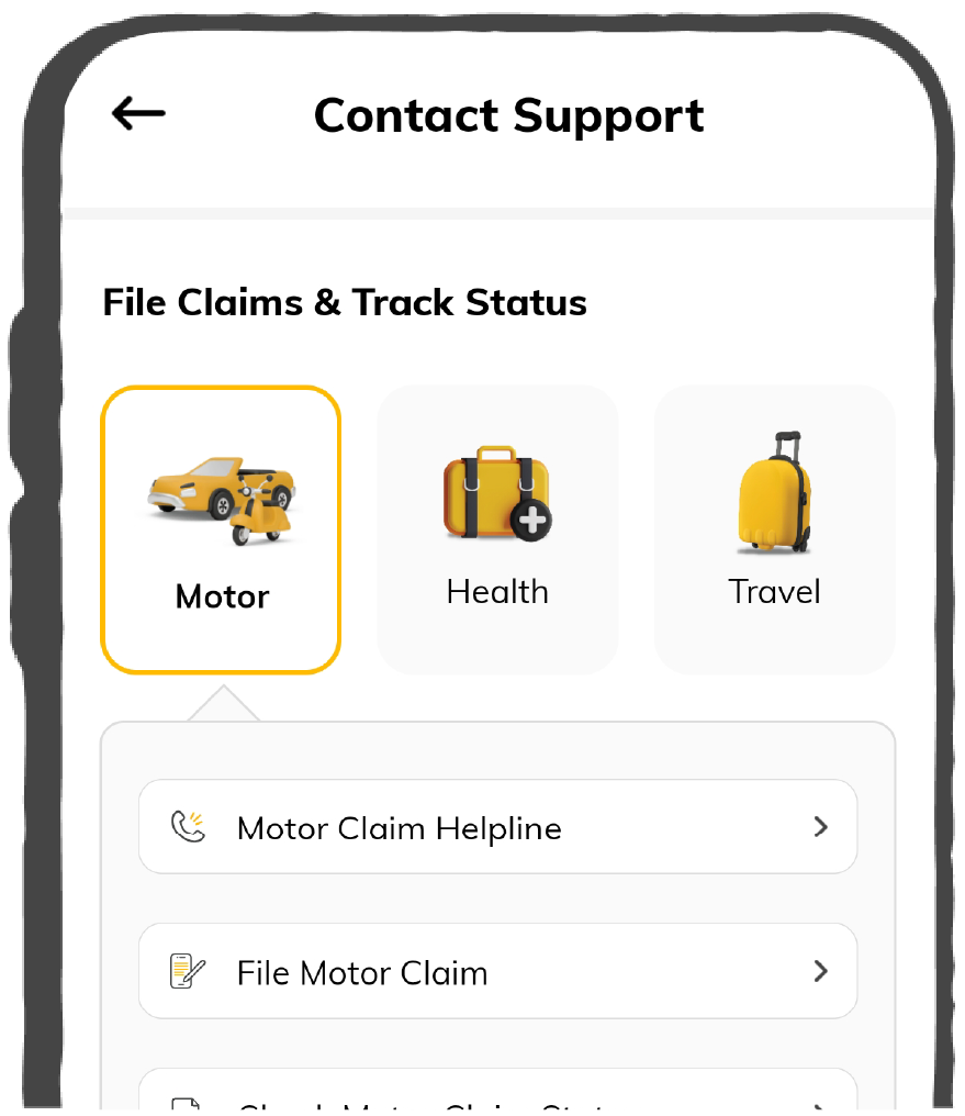
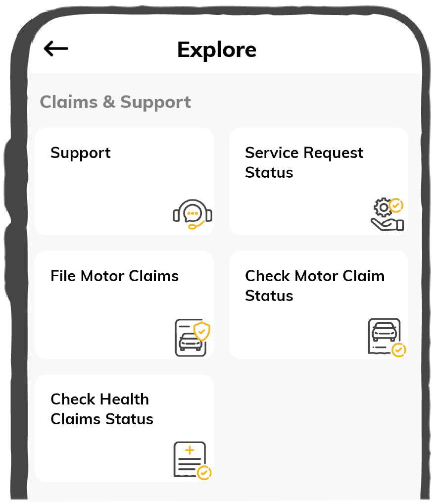
Claims
Claims
We'll be there! Whenever and however you'll need us.
Scan to download
 General
 Life
Life
Renewals
Resources
Resources
All the more reasons to feel the Digit simplicity in your life!
Scan to download
Our WhatsApp number cannot be used for calls. This is a chat only number.


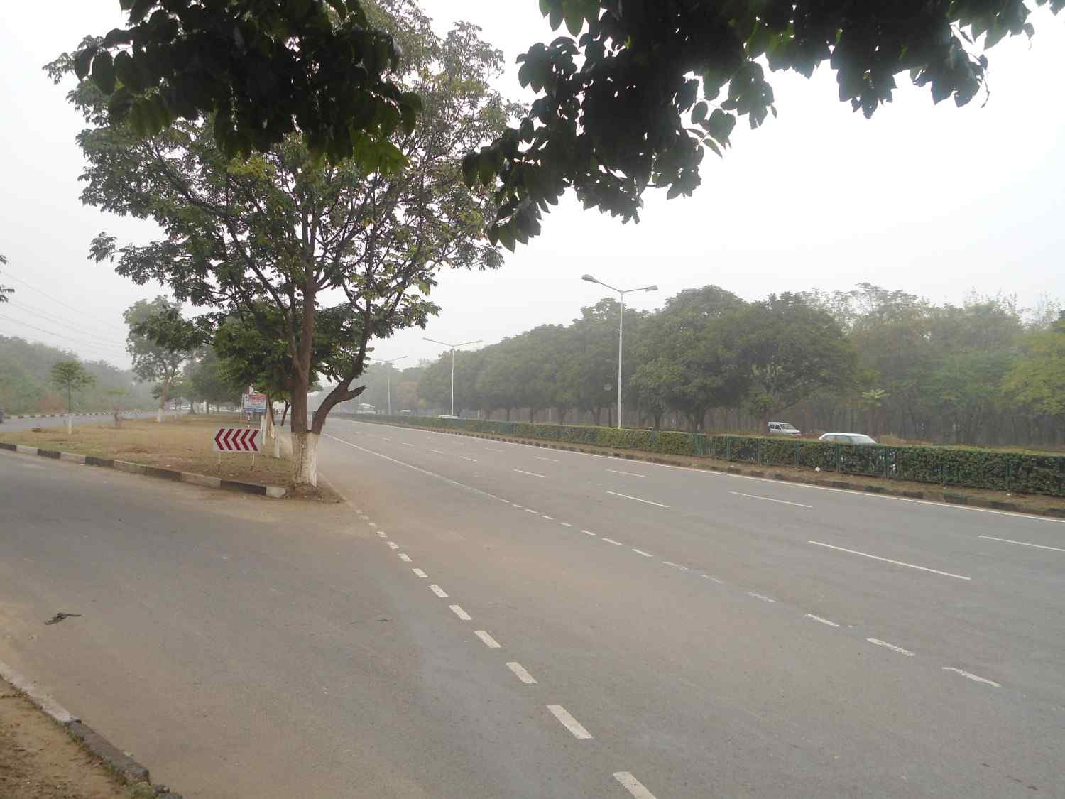
National highways are important roadways that allow inter-state connections between two or more cities. National Highway 21 takes you through several states and cities where you will be able to visit the tourist attractions nearby.
National Highway 21 is an interstate expressway connecting the major cities of Rajasthan and Uttar Pradesh, making transportation quite seamless. Earlier, Jaipur-Agra Highway was known as NH 11. Later, the Ministry of Road Transport and Highways renumbered this highway as NH 21 and included it with the Jaipur-Bareilly Highway.
The NH 21 route stretches through the following states.
National Highway 21 runs from Jaipur in Rajasthan to Bareilly in Uttar Pradesh, with Agra as its middle point.

The National Highway 21 route encompasses all the major cities and towns between Jaipur to Bareilly.
|
States |
Miles |
Kilometres |
|
Rajasthan |
124.274 |
200 |
|
Uttar Pradesh |
164.663 |
265 |
For reference, 1 mile = 1.609 km
1 km = 0.621 miles
Here are the vehicle types that are allowed to access NH 21:
The preferred speed limits for different vehicles on National Highway 21 are as follows:
Here is a list of famous tourist destinations that NH 21 route passes through via the states of Rajasthan and UP:
Here are some of the must-visit tourist places in Rajasthan along NH 21:
Here is a list of places you would want to visit in UP while travelling via NH 21:
Here are certain points that you must keep in mind while travelling on National Highway 21: