General
Life
Accessibility Options

General

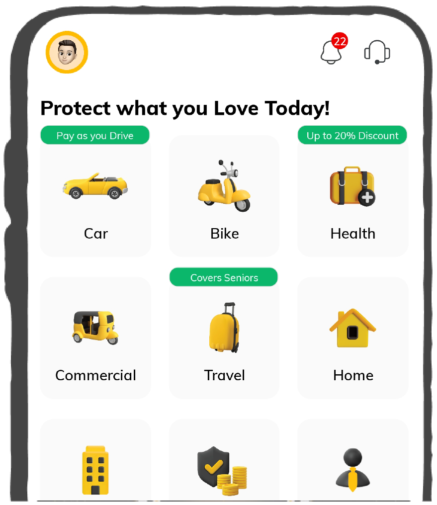
General Products
Simple & Transparent! Policies that match all your insurance needs.

Scan to download

Life

Life Products
Digit Life is here! To help you save & secure your loved ones' future in the most simplified way.

Scan to download

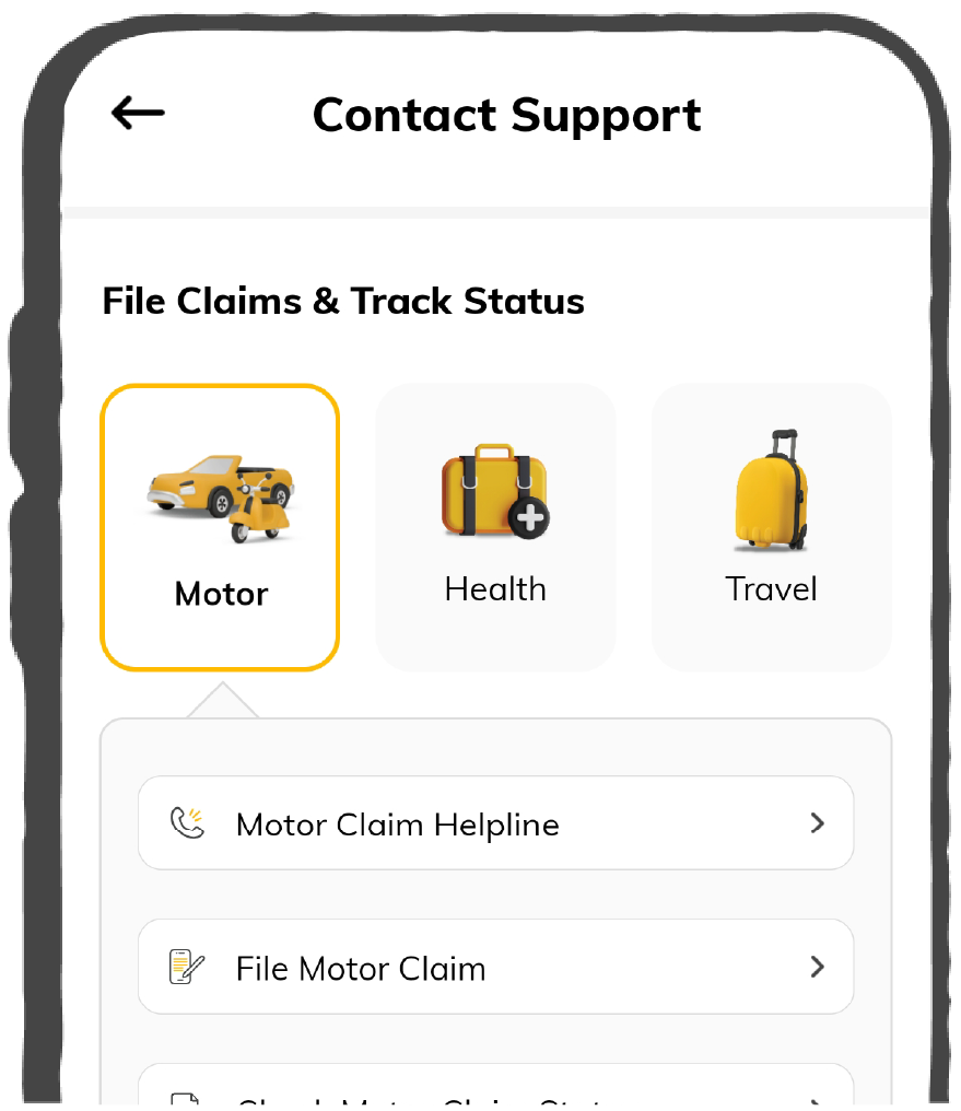
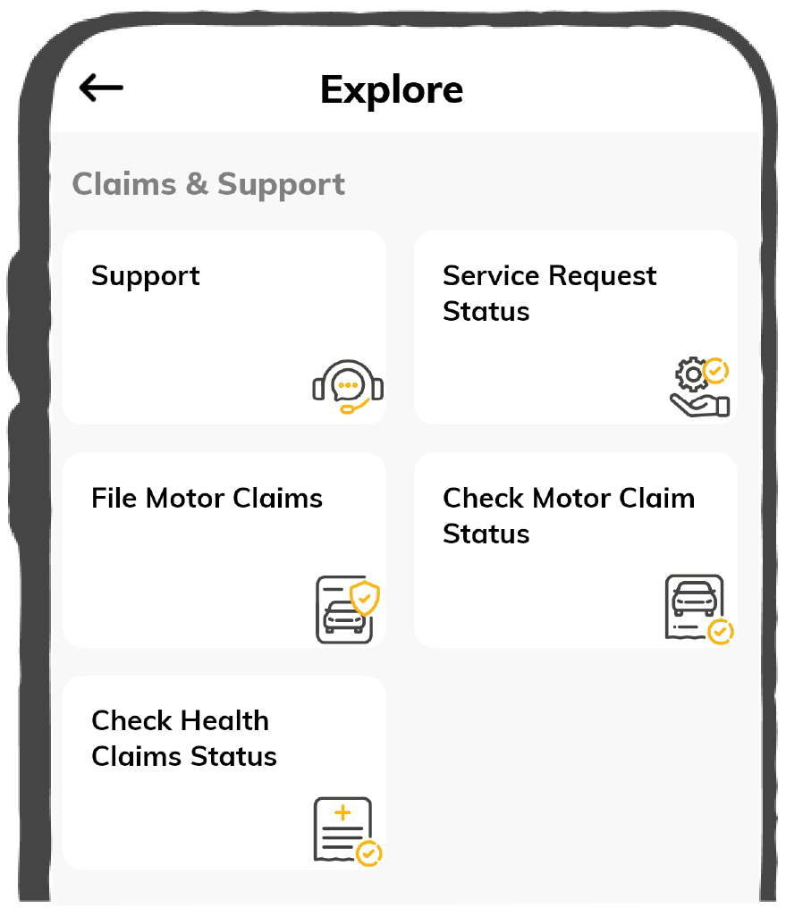
Claims
Claims
We'll be there! Whenever and however you'll need us.
Scan to download
 General
 Life
Life
Renewals
Resources
Resources
All the more reasons to feel the Digit simplicity in your life!
Scan to download
Our WhatsApp number cannot be used for calls. This is a chat only number.


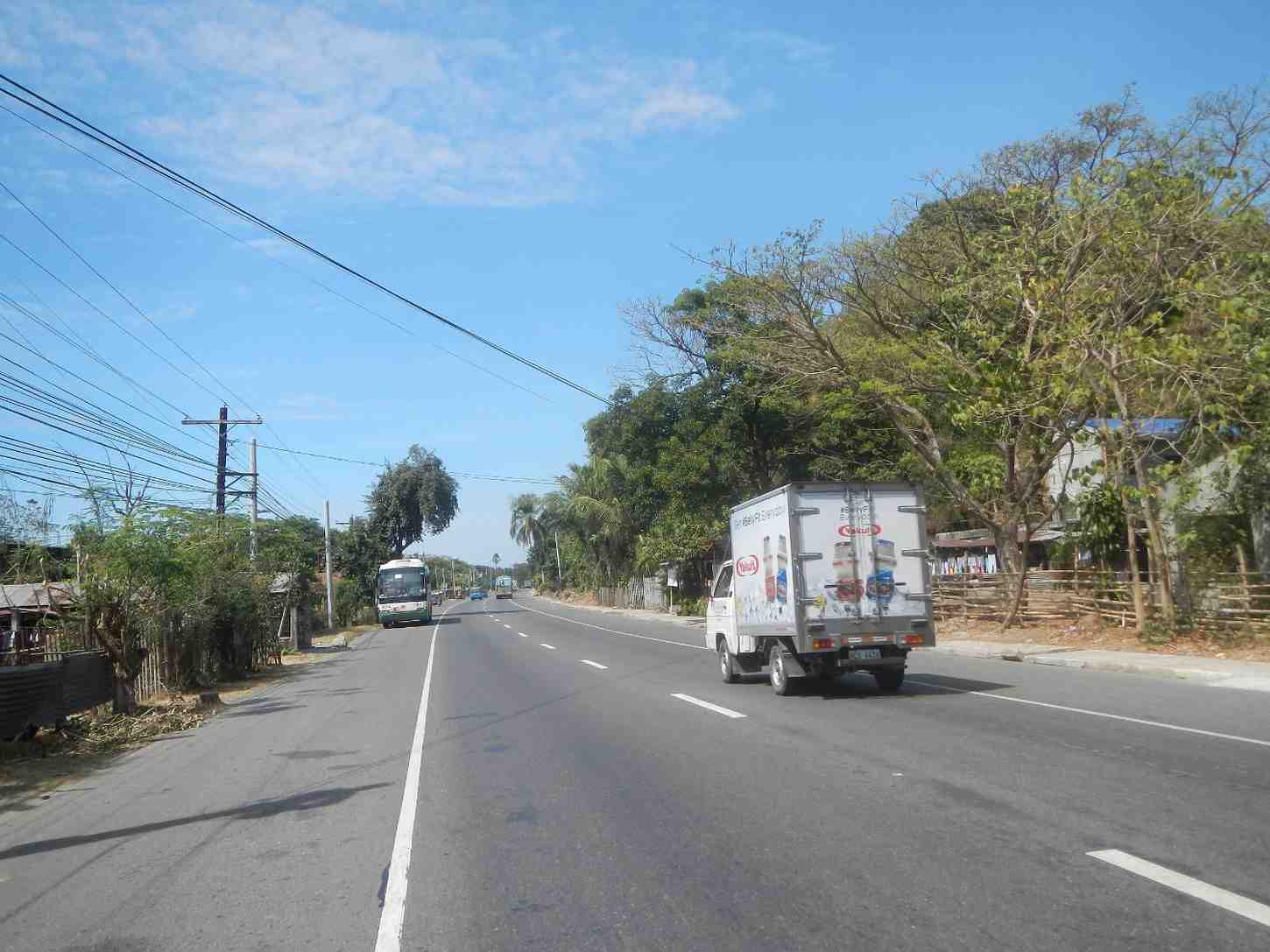
National Highways 51 plays an important role in improving the level of infrastructure along with the quality of road transport for travellers on route to Gujarat. The National Highways Authority of India (NHAI) takes the entire responsibility for maintaining this and other highways. They promote tourism, establish social connections and enhance economic growth.
The National Highway 51 lies entirely in the state of Gujarat. You will also come to know the entry and exit points of the highway. Let us find detailed information about them below.
NH 51 passes entirely through the state of Gujarat. It follows the route of Dwarka, including:
This highway even connects different regions within the state of Gujarat and provides some important transportation routes.
The entire NH 51 passes through the Gujarat state. The entry point of this highway is Dwarka, Gujarat, and the exit point is Kuda, Gujarat.

The National Highway 51 route length is given below with its major intersections across several states:
|
State |
Mile |
Kilometre |
|
Gujarat |
454.19 |
730.95 |
Here are the different categories of vehicles that are allowed on National Highway 51:
Here are the mentioned speed limits for different vehicles on national highway 51:
Several places fall on the route that National Highway 51 follows. All these places fall under the state of Gujarat. So, if you are travelling through this national highway, these are the must-visit places:
Dwarka, the first capital of Gujarat, has many temples and is a popular pilgrimage centre for Hindus offering:
Porbandar is well known as the historic port city of India. Mahatma Gandhi was born in this state. If you are here, make sure to visit the following places:
Bhogat lies in the Jamnagar district. This place holds a perfect balance of urban and natural beauty offering:
Kodinar, a well-known town in Gujarat, is located about 37 kilometres west of Una. This place is located very close to the Gir Forest National Park. So while travelling through this place, make sure to visit:
Mangrol, a popular town and a minor city in Junagadh district in Gujarat state, western India, offers scenic beauty to its travellers. The must-see places to visit here include:
Mahuva is a small town in Gujarat, India. It has greenery all around and lush surroundings and is popularly known as the Kashmir of Saurashtra. Here are the places you must visit if you are at Mahuva:
Driving through National Highway 51 will take you to a few places in Bhavnagar, a city located in the Bhavnagar district of Gujarat state in India.
Rajula city, well known as Rajgadh, offers several must-visit places when you are travelling through:
Before you start your journey on National Highway 51, you should consider some of the important things mentioned below:
Here are some top safety tips for driving on National Highway 51:
For Car Drivers: Always drive within the speed limits and follow all the other traffic rules while driving on highways as in case of accidents, your car insurance policy online will not cover you if you are found violating traffic rules.
For Bike Riders: Drive in the dedicated lane for slow-moving vehicles and always wear a helmet, gloves, and other protective gear. Also, you can buy bike insurance with consumables or tyre protect cover to protect your bike’s tyres, nuts, bolts, etc.
For Commercial Vehicle Drivers: Ensure each truck, bus, or taxi in your fleet is covered with a valid commercial vehicle insurance policy and avoid overloading goods-carrying vehicles. It can lead to accidents and affect your insurance claims.