General
Life
Accessibility Options

General

General Products
Simple & Transparent! Policies that match all your insurance needs.


Scan to download

Life

Life Products
Digit Life is here! To help you save & secure your loved ones' future in the most simplified way.

Scan to download

Claims
Claims
We'll be there! Whenever and however you'll need us.
Scan to download
 General
 Life
Life
Renewals
Resources
Resources
All the more reasons to feel the Digit simplicity in your life!
Scan to download
Our WhatsApp number cannot be used for calls. This is a chat only number.


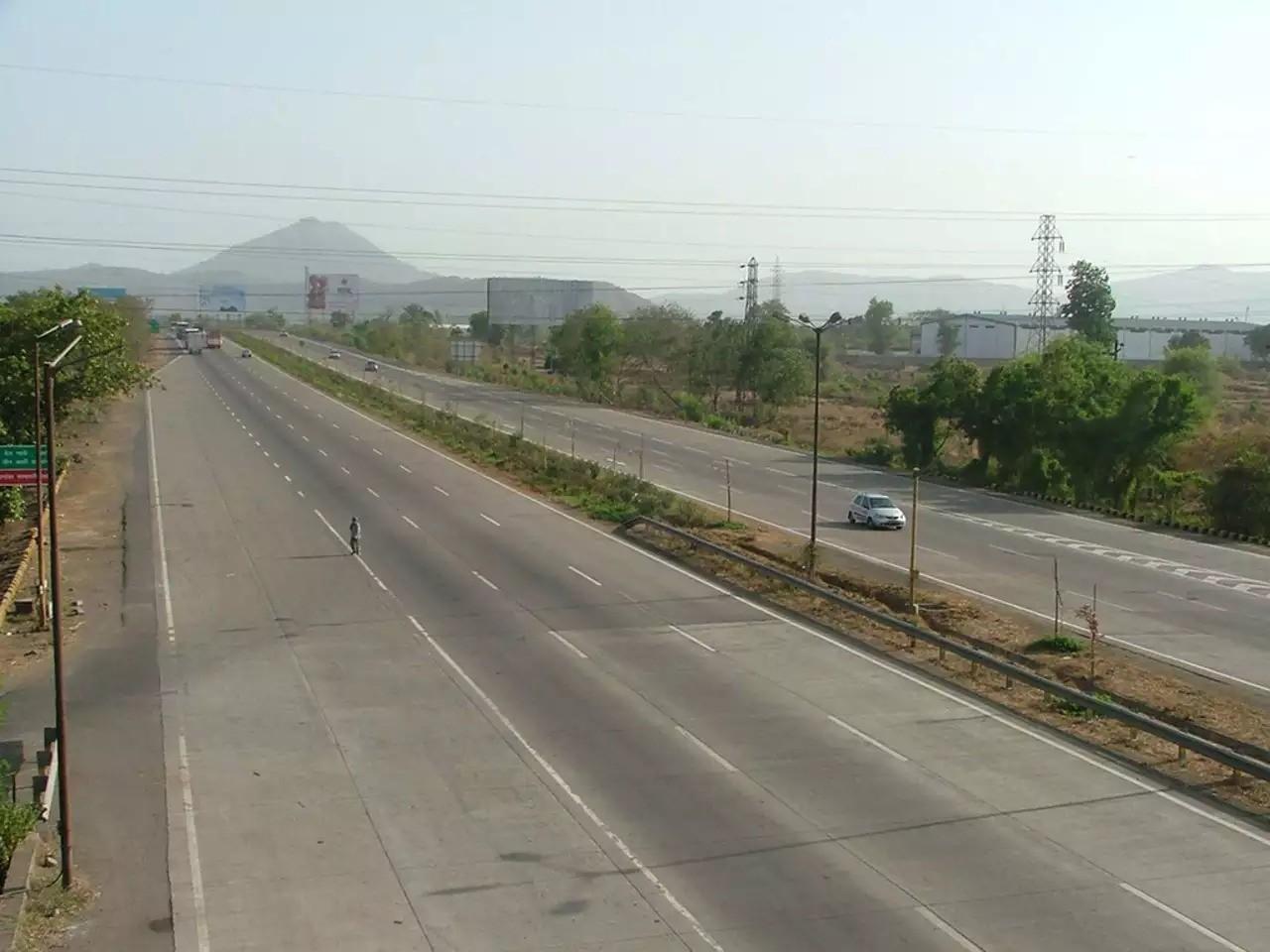
Indian highways are essential parts of the transportation system because they help to maintain communication between different states. While highways are essential to travel across India, there are certain things you need to know before stepping into one to have a safe and comfortable journey.
Running from west to east direction, NH 31 crosses through 3 different states of India. This National Highway connects several major cities across these states.
All highways are numbered in ascending order from east to west and all highways connecting east and west have been given odd numbers, and therefore NH 31. There are some of the states that this highway covers while following its specific route.
National Highway 31 runs through 3 states, which are:
Many important cities across the three states are connected via this highway.
The entry point of the National Highway 31 is the junction of NH 27 in Unnao and the exit point is near the junction of NH 12 in Pandua, West Bengal.
NH 31 is 1000 kilometres long. It runs the maximum distance through the state of Uttar Pradesh and covers a minimal distance in West Bengal.
Let us look at the chart below to understand how much distance this highway travels in every state:
|
State |
Mile |
Kilometre |
|
Uttar Pradesh |
324.85 |
522.80 |
|
Bihar |
257.87 |
415.00 |
|
West Bengal |
38.65 |
62.20 |
1.000 Mile = 1.609 km
1.000 km = 0.621 Mile
All of these highways are built with certain infrastructures, and depending on that, here is a list of the types of vehicles allowed on NH 31:
All vehicles, such as cars, buses, trucks and other vehicles which fall under these categories are allowed on National Highway 31.
The speed limits set for each vehicle are:
Every vehicle should abide by these guidelines to ensure their own and other travellers' safety on the roads.
While travelling by NH 31 routes, you can enjoy the road trip further by visiting some of the places around. There are a few places in all 3 states to consider while driving through this national highway.
Here are some of the places you can visit while travelling through NH 31:
Here are a few famous places that you can visit while travelling through routes of National Highway thirty-one:
These are a few places to visit near NH 31 in the state of West Bengal:
Here are a few tips before you start your journey on national highway 31:
As NH 31 travels through some of the most rugged plains, it is advised to drive carefully, especially while crossing the terrains between Bihar and West Bengal. Also, ensure you have commercial vehicle insurance to protect usually large and heavy commercial vehicles that are more prone to such risk.
Try not to overtake while driving to prevent any accidents on the way as the route of National Highway 31 is quiet congested.
Use proper indicators while changing narrow lanes and aide by the traffic signals to avoid accidents on this route.
These are a few tips to ensure the safety of you and others on the highways.
To conclude, driving on a national highway can be a little bit risky as all sorts of drivers use it for commuting. But by staying proactive and having valid car insurance or bike insurance policy, you can ensure a smooth and hassle-free journey via NH 50.