General
Life
Accessibility Options

General

General Products
Simple & Transparent! Policies that match all your insurance needs.


Scan to download

Life

Life Products
Digit Life is here! To help you save & secure your loved ones' future in the most simplified way.

Scan to download

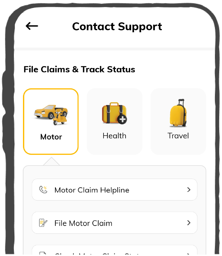
Claims
Claims
We'll be there! Whenever and however you'll need us.
Scan to download
 General
 Life
Life
Renewals
Resources
Resources
All the more reasons to feel the Digit simplicity in your life!
Scan to download
Our WhatsApp number cannot be used for calls. This is a chat only number.


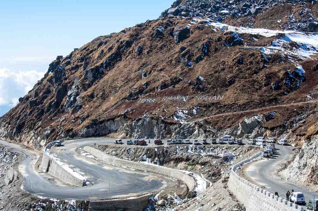
National Highways are a network of trunk roads connecting major towns and cities in India and contributing to the transportation facilities across these regions. The Ministry of Road Transport and Highways are mainly responsible for the development and maintenance of the National Highway 10.
This route plays a significant role in inter-state trading and tourism as it connects to several cities and towns of north-eastern India.
National Highway 10 lies in the north-eastern part of India. It runs through a variety of landforms and scenery with several entry and exit points.
National Highway 10 connects the Indo-Bangladesh border in West Bengal with Gangtok in Sikkim via SIliguri. In the state of Sikkim, National Highways and Infrastructure Development Corporation Limited (NHIDCL) maintains NH10 from Rangpo to Ranipool.
The major junctions of National Highway 10 are Phulbari (Fulbari) (south end) and Gangtok (north end). These points are marked as the following junctions:

The total length of National Highway 10 from Phoolbari to Gangtok is 174 km. The length of National Highway 10 in West Bengal and Sikkim is provided in the table below:
|
States |
Miles |
L Kilometre |
|
West Bengal |
40.38 |
65 |
|
Sikkim |
32.31 |
52 |
1.000 mile = 1.609 km
1.000 km = 0.621 mile
Here are the vehicles that are allowed on NH 10.
Vehicles travelling from West Bengal to Sikkim on National Highway 10 must also abide by the set speed limit.
Here are some of the popular tourist spots that you shall come across while travelling on NH 10:
Here are some of the tourist spots that you shall pass through while travelling on route NH 10 from West Bengal:
NH10 enters Sikkim in Melli Bazaar and runs to the state capital of Gangtok. Here are some of the tourist destinations that you will come across while travelling to Gangtok on NH 10:
Here are certain things that you must keep in mind while driving through NH10:
As you cross Siliguri, the road begins to take a sharp winding route on NH10. Ensure to adhere to the speed limit on such roads and avoid overspeeding or overtaking.
NH 10 has hilly roads, which are more prone to accidents, so ensure you are completely protected with car insurance or bike insurance.
Before setting out, consider checking the day’s weather forecast. Surrounded by hilly areas, National Highway 10 is quite prone to landslides and floods.
Avoid long drives at night, especially if you are driving heavy vehicles or in the hilly regions of NH10. Also, it’s better to have roadside assistance with commercial vehicle insurance for 24x7 help on the highway.
The journey from Phulbari to Gangtok on National Highway 10 is mesmerising and exciting as you travel up. However, it is important to drive safely as you travel on NH 10. Avoid littering on roads and contribute to maintaining the cleanliness of the beautiful states of West Bengal and Sikkim.